GEOTROPICS
Supporting international development projects across Latin America,
the Caribbean And Africa with innovative geo-spatial solutions
WHAT WE DO.
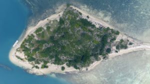
Drone Services
With our fleet of fixed -wing and multi-rotor drones with the ability to carry an array of cameras and sensors, along with our ground equipment, we can film, photograph, and map virtually any location in the world.
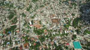
data Collection
The core of GeoTropics is data collection. We utilize remote sensing, mobile app data collection, telephone surveying, and door-to-door surveying to collect and deliver the highest quality data.
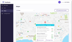
App & Web Design
With an experienced team of developers, GeoTropics designs, develops and deploys dynamic mobile apps, web apps, data visualization platforms, project status dashboards, and other custom products.
Who We Are.
Founder and Director of GeoTropics, Nicolas Clarens is a native of Washington D.C. and an alumnus of the University of Wisconsin – Madison.
Mr. Clarens began his career in international development at the Inter-American Development Bank in 2012 and founded GeoTropics in 2015 to provide more comprehensive mapping and data collection services to the bank as well as a variety of other donors and government partners.
Sectors We Work In.
Click on a sector icon to view our portfolio of projects in the various sectors.
Partnerships
