Geotropics
Portfolio of Projects
Use the tabs below to view our most prominent projects, organized by sector.
Highlighted Projects:
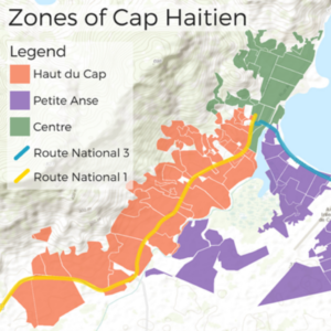
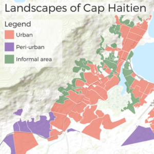
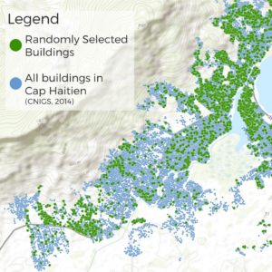
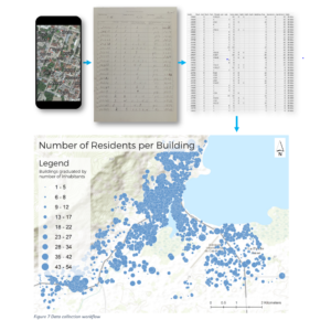
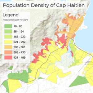
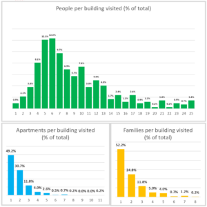
City Population Census, Modeling, & Analysis – Cap Haitian, Haiti, 2016
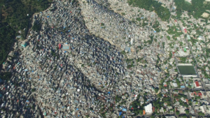
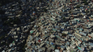
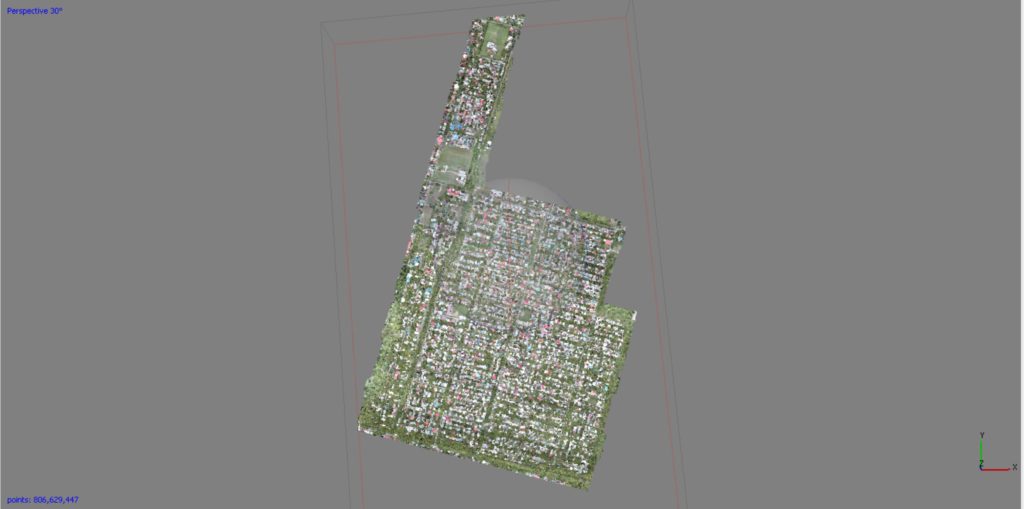
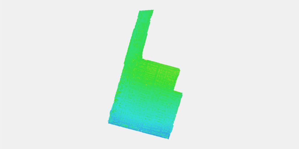
Using UAV technology, generated aerial images, orthophotos, elevation models, house layers, and street layers for the arrondissement of Cap Haitian. Conducted door-to-door surveys of over 3,000 homes to establish a socioeconomic and population distribution. Calculated estimate of waste production and conducted a street quality and accessibility analysis of the city.
WASH Infrastructure Monitoring – Haiti, 2017
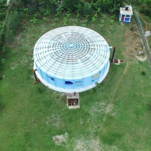
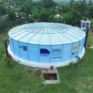
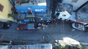
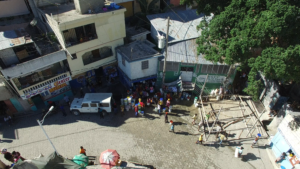
Collected aerial imaging of WASH Infrastructure in the North & South of Haiti. Designed web-map referenced site with locations of orthomosaic sections, and visualized data with communication video showcasing georeferenced data overlaid on city video footage.
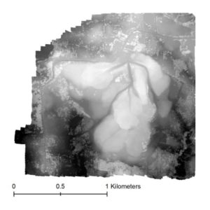
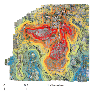
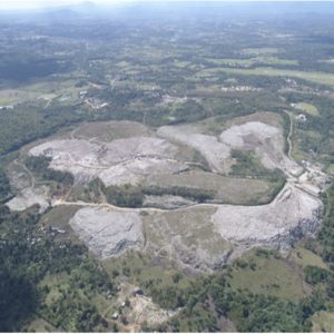
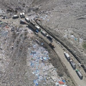
Mapping & Modeling Duquesa Landfill – Santo Domingo, Dominican Republic, 2018
Produced centimeter-accurate topographic model and high-resolution aerial imagery of 246 hectare landfill site north of Santo Domingo, Dominican Republic.
Highlighted Projects:
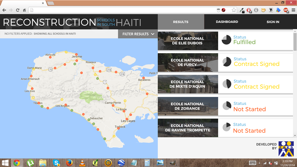
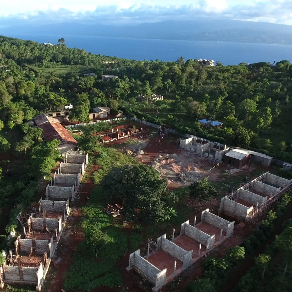
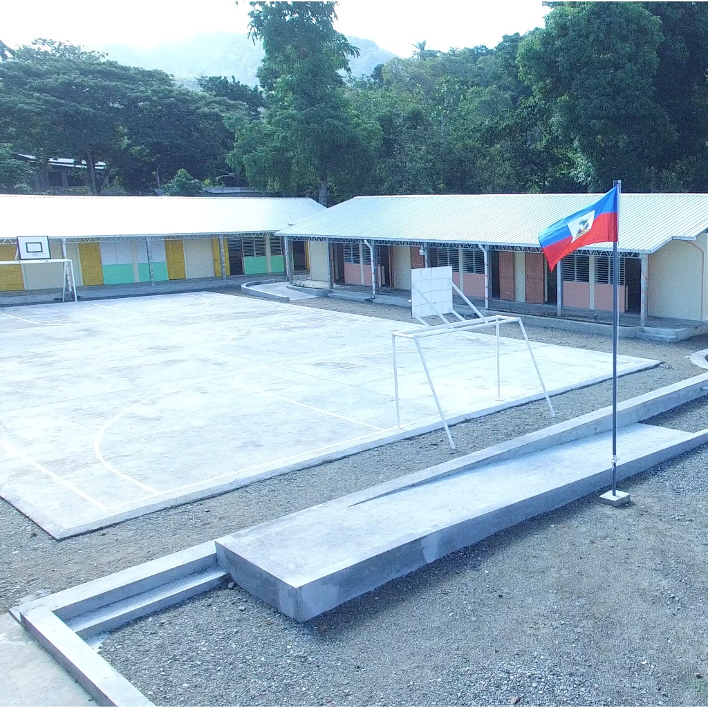
School Construction Monitoring – Haiti, 2015
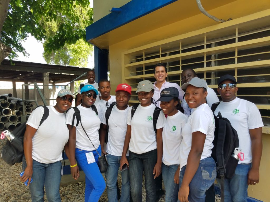
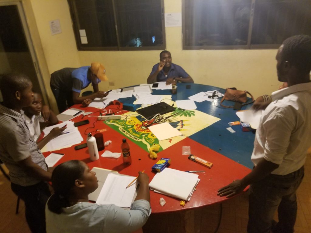
Education Data Collection, Phone Survey – Haiti, 2018
Education survey on academic financing and teacher absenteeism 3,000+ respondents across 325 primary schools across Haiti.
Family Engagement Mobile Application – Uruguay, 2019
Developing a mobile application to be used in 100+ early-childhood learning centers for family feedback, engagement, and communication. The Project includes native iOS and Android mobile applications, a web application, and a data-visualization dashboard for stakeholders to view, filter, and analyze family engagement and educational survey data collected through the survey functionality of the app.
Highlighted Projects:
National Highway Construction Supervision – Gonaives to Plaissance, Haiti, 2015
Led project supervision of under-construction segments of Route National #1 and Route National #7 involving aerial photos, videos and maps of relevant sections.
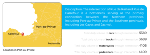
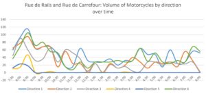
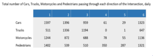
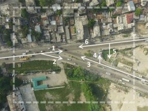
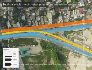
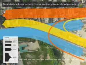
Traffic Modeling – Carrefour, Haiti, 2016
Designed and implemented methodology to collect and model traffic flow data in a key bottleneck intersection near the capital.
Highlighted Projects:
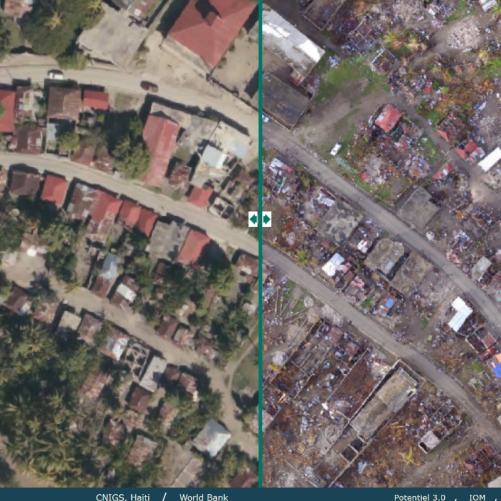
Hurricane Matthew Response – South Coast, Haiti, 2016
Provided support to the National GIS Center of Haiti’s Ministry of Planning in the wake of the destruction caused by Hurricane Matthew. Collected orthorectified aerial imagery, supervision footage, and spatial data of the south coast of Haiti where damage was incurred from the storm. Worked with government partners to analyze aerial data and build database of infrastructure damage in the surveyed area. Designed online data visualization tool for damage evaluations.
hurricane Matthew: Southern Haiti, Before and After
Highlighted Projects:
Programme de gestion de l’eau dans le bassin-versant de l’Artibonite Baseline Study – Artibonite, Haiti
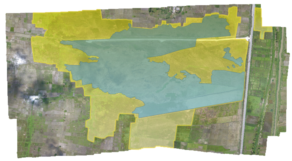
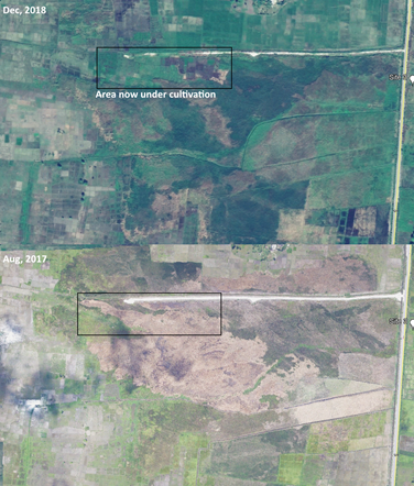
Established a preintervention baseline for 27 areas under cultivation in the Artibonite valley which are affected by seasonal flooding. To be able to measure the affects of an irrigation canal intervention, the team produced aerial imagery and videography of sites to enable before/after high-resolution image comparisons, and calculations of change in vegetated areas.
Microdams Baseline Study – Centre Department, Haiti
Established a pre-intervention baseline for over 20 microdam sites in the mountains of the Centre department. To be able to measure the effects of a microdam intervention, the team produced aerial imagery and videography of sites to enable before/after high-resolution image comparisons, and calculations of change in vegetated areas.
Highlighted Project:
UAV Video Collection, Editing, and Producing – Caracol Industrial Park, Haiti, 2015
Collected high-resolution aerial imagery and video of industrial park on the north coast of Haiti. Produced communications video to convey recent investments to potential tenants and other investors.
Public Housing Topography – Guyana, 2018
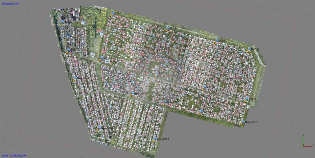
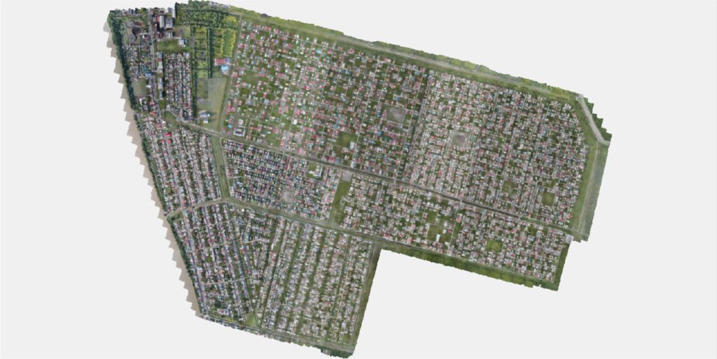
Topographical study and aerial imagery produced for 1300 Hectares of public housing sites around Georgetown, Guyana.
Please excuse our appearance as we update our portfolio.

