geotropics
Drone Services
Why Drone Imagery?
Accuracy
Spatial data informs stakeholders of the past & present features of a study area, enabling us to make predictions, models, and calculations to inform future projects. However, imagery that is even one year old may be considerably outdated, due to changes in the built & natural environment. Using the most up-to-date spatial data collected with drone technology ensures that your team is working with the most accurate data available.
Quality
Unmanned aerial drones are a new technology that has several advantages over traditional methods such as piloted planes, satellites, and ground surveys. Beyond the significant differences in data-collection costs, unmanned drones can fly much slower and closer to the ground, collecting considerably higher-resolution imagery than satellite or plane imagery.
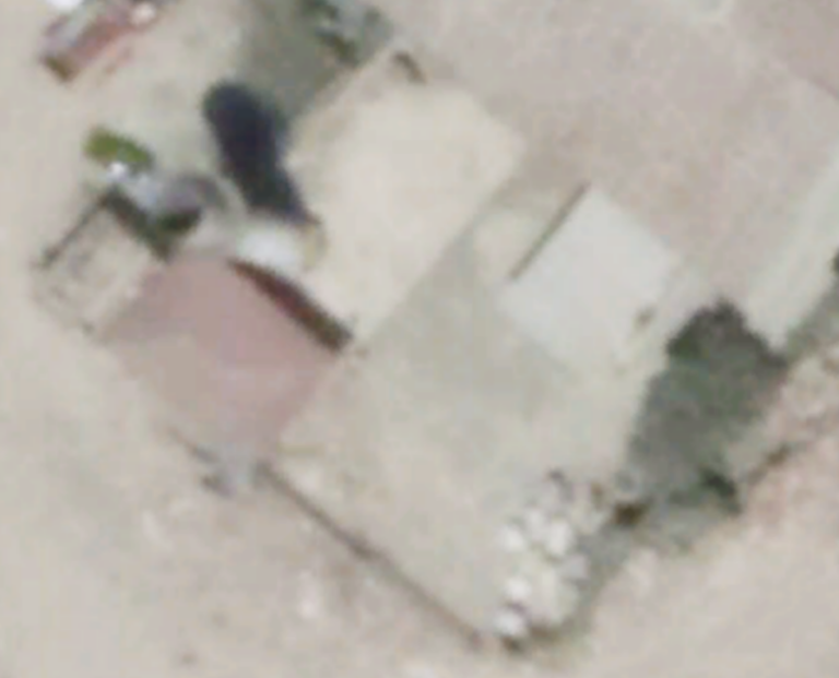
GoogleEarth Imagery
35cm - 70cm
of ground cover per pixel
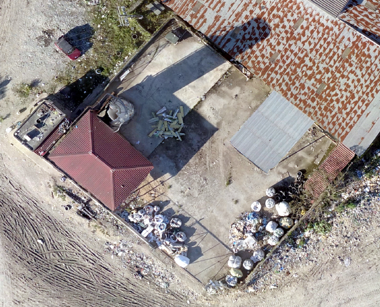
Drone Imagery
2cm - 5cm
of ground cover per pixel
Video Editing
- Communication Pieces
- Traffice Flow Record
- Before & After Video
GIS Tools
Land surveys & Mapping
road Safety Analysis
Biomass Calculation
Population Distribution
Solid Waste Production
Disaster Response
GIS Tools
Elevation Modeling
Flood Analysis
Agriculture Assessment
Transportation Modeling
Volume Calculation
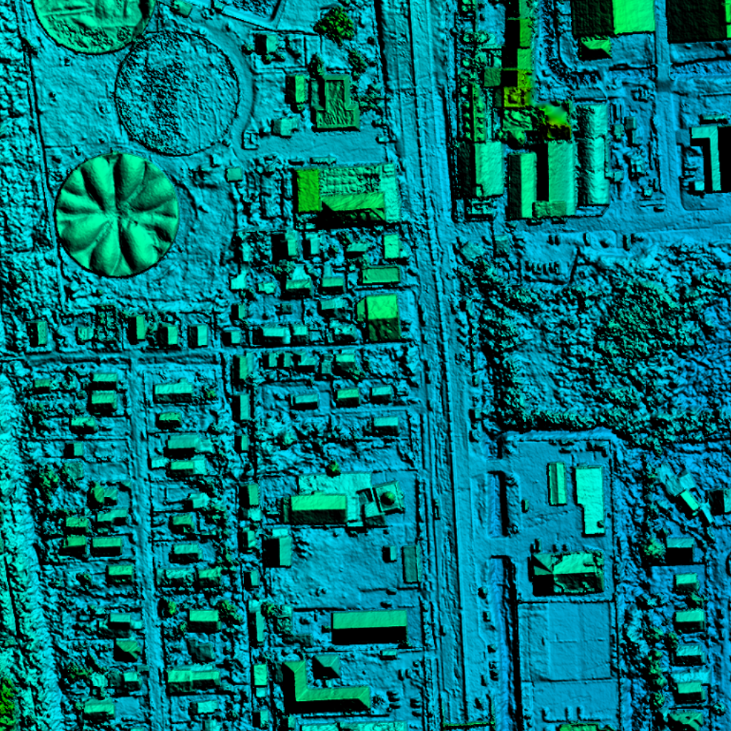
Elevation Model of Planned Community in Guyana
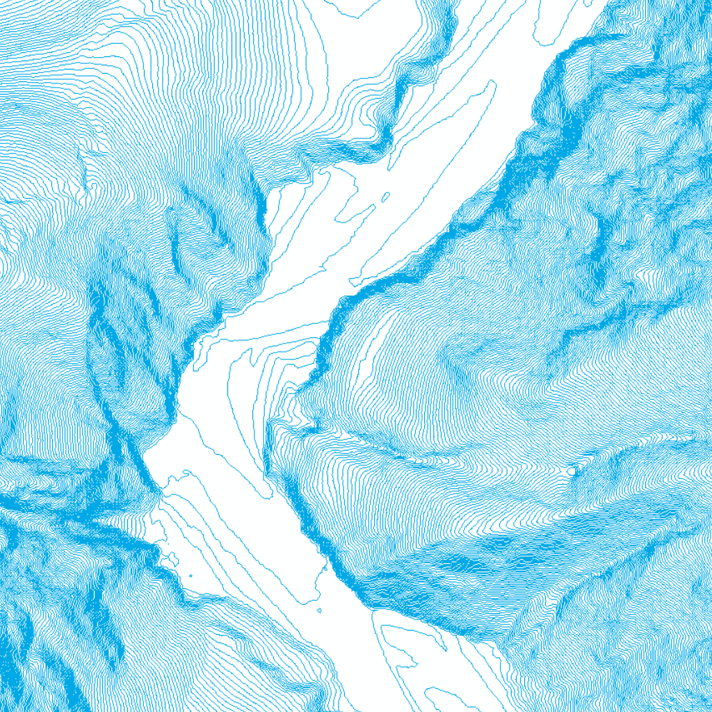
Contour Map of Momance River in Haiti
